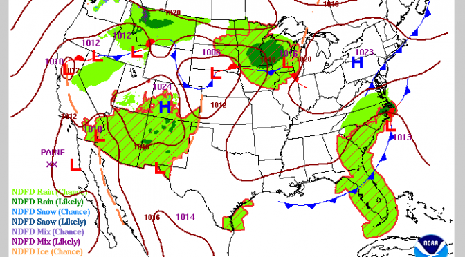
The cold front over Louisiana is projected to get into the gulf. It is going to be close to west Florida. Will it impact west Florida’s weather? The rain chances go up, but that is about it. It is forecast to transform from Continue reading Mid-September Cold Front
Monthly Archives: September 2016
Surf Forecast
The surf has been flat for a while now, since Hermine. There is a boundary of air just above Louisiana, but it’s going to pull out of the south and into the northeast. It isn’t going to dip into the gulf. In the coming weeks cooler air will begin entering our area with troughs dipping far enough south to change our weather. They will start out mild, but once October rolls around, we will begin to get surf. With the increasingly fall like pattern, increasingly stronger cold fronts will get us into spring-suits, then wetsuits. The water temperature is at 85 degrees right now, but the mild cold fronts will decrease nighttime temps. Lower nigh-time temperatures will slowly bring down the water temperature. With a few decent cold fronts the water will quickly drop 10 degrees or more. There is usually one cold front mild enough to wear a spring-suit, then the cold wind will quickly put us into full-suits. Surf is coming.
Hermine Clip
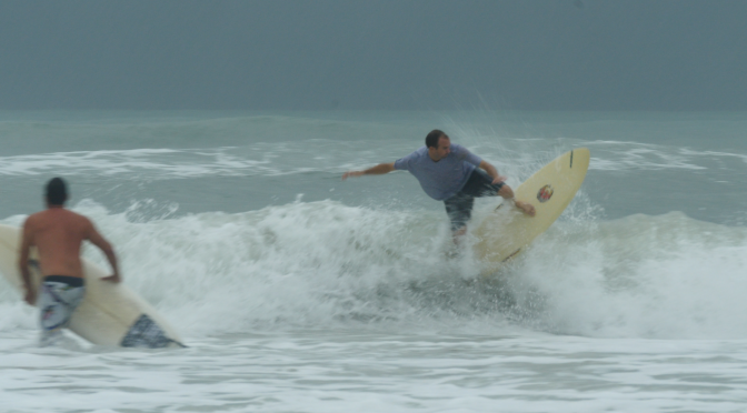
As the rain was pouring down, Austin and I managed to get a quick clip of the shorebreak surf. Off in the background loomed a nasty squall storm. There was a bolt of lightning or two, but not enough to chase many people out of the water. As the tide dropped, and the swell increased, the outside sandbar began to break. The rain from tropical storm Hermine poured for the whole day.

