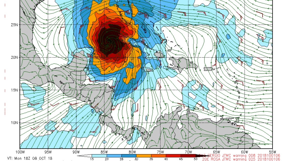
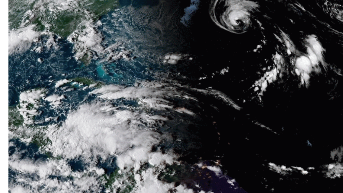
The Navy GFS model seems to think something big and gnarly could be a week away from entering the gulf, that’s next Monday. The National Hurricane Center doesn’t have anything developing in the next 5 days. The Navy GFS is usually a pretty good forecast model for tropical systems. What do you think? Is that system in the carribean that’s being called a ridge by the National Weather Service going to morph into something that’s going to send us pumping head high surf? Check out the image of the ridge from today around 7pm below.

