Category Archives: Adverse Weather

Honeymoon Island(s)!!!!

It’s about to split! We don’t have much sand left in this little gap. What’s it going to take to open this pass? Are we just a few spring high tides away or will a tropical storm do the trick? Send in a few pictures if you’re there after it happens. We’re just weeks or maybe months away from the official split of the walking beach Honeymoon Island ranked among the best beaches in the country.

Dorian Could Wreak Havoc on The East Coast

Please note: I added the current forecast track image to the homepage down toward the bottom. It’s a link to the NHC. There’s also a water vapor satellite image GIF so you can see what’s happening with the appearance of the storm as it’s happening.

Hurricane Dorian, now a cateogry four hurricane with 140mph winds, is expected to make landfall early next week. The storm track cone has the landfall somewhere in east central Florida around 8pm on Tuesday, possibly annihilating Cocoa Beach. If it goes that way, Dorian’s going to tear some shit up. It won’t be a pretty sight. Looking on the bright side, this forecast has been adjusted over and over again. First, it was predicted, as it was last summer, with an obviously flawed track through the middle of the state. A repeating tracking pattern through the middle of the state just makes me think that NOAA and the NWS are just little play things for the rich people in power who are in love with money, and are willing to tell the whole country that the whole state, from the east coast to the west coast, is going to get annihilated by Dorian, so people go out and buy excessively canned food and crap they don’t need. Then after the sufficient spike in sales, we saw the trend where the track shifts a little bit more east taking it through the middle of the state. Now we’re seeing a track where it rides up along the east coast. I just can’t believe how absurd the forecast tracks have been this summer and the last. I’m sure some people are getting a nice fat wad in there pockets after these storms, further encouraging the absurdity. The track the navy’s GFS is pushing out now shows the track not even reaching the east coast (image below also a link to forecast). It’s what one of the local weather stations was also saying could be a possibility. Soon, we may see the NHC update with the actual forecast track up along the east coast, who knows. I’m not going to lie to you, the track is still unsure, however trends are actually pretty common with these things. The trend takes these hurricanes up along the east coast, sometimes making landfall, sometimes not. All I can say for sure is, I think we’re safe here on the gulf.

Epic T-Groin Failure 1:30pm

1:30pm: A storm just rolled in. The storm band was a short quick shot of rain. The high tide seems like a storm surge high tide. I don’t actually think it is. The water is washing into the parking lot again. The surf is rideable, and looks fun at times. No one is out, and there’s still a light drizzle. The size of the surf will drop again for the super low tide. Now or later, who knows. I’m debating now or later. It doesn’t look much bigger than yesterday, still coming in with long waits between set waves.

The imported sand they trucked to the beach or moved from some other place after the dredge seems to be almost gone:
IMG_3922

Hail-storm

This evening has been an almost usual summer evening. Nothing eventful was happening. Off in the distance a rumbling could be heard, with only the faintest thoughts that a storm could be approaching. The rapidly approaching storm with just the right ingredients brought with it an unusual sight, hail! The cracks on the windows could have only been one thing. After a quick check on the front porch I found dime sides hail. Hail is truly rare here. I can’t remember the last time I saw or heard real hail falling from the sky. Considering the weather is about a million degrees, frozen water falling through the air and reaching the ground is sort of unusual. It happened this morning just after midnight. Below you’ll find the proof.
Hail in East Lake

Surf’s Up Surf Report: Wed, June 19, 3:30pm, 8pm, & 8:30pm Sunset

3:30pm: I rolled up to the beach. Right behind me in came a car and an FWC officer pulling a teenager over. Apparently he had blown right through a stop sign according to the park staff making the accusation. The officer couldn’t write him a ticket because he didn’t see it happen, he said. They got off with a warning. I chatted with the park staff. At least one was a certified botonist (plant specialist). They said the small bush that looks like a smaller palm like the sabal, but doesn’t look like one, was in fact a sabal, and that the average growth size was just above bush size. The full tree sized trees aren’t the normal size. Interesting, right? I said, “I could have sworn those have been the same size since I’ve been coming here.” They said, there are many different varieties of sabal palm. Another interesting fun fact: the sabal palm is classified as a grass. The surf is small. It’s rideable. It’s consistently knee high. The storm might pass soon. Low tide is at sunset. Go surfing.

Surf Forecasting: A Discussion

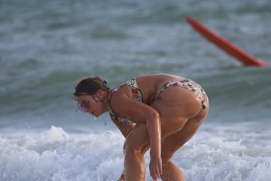
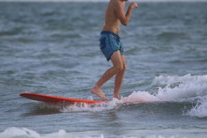
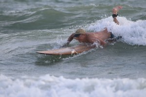
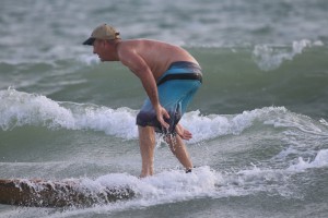
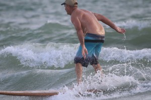
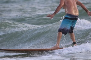
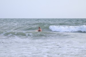
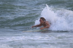
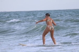
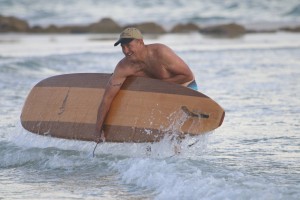
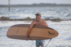
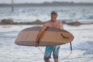
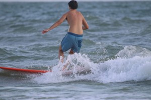
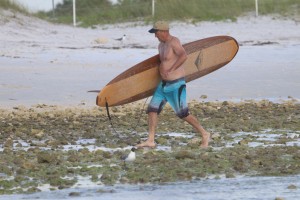
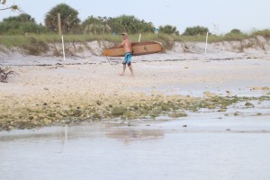
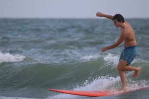
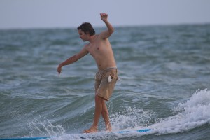
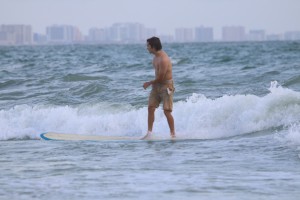
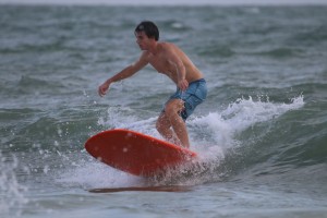
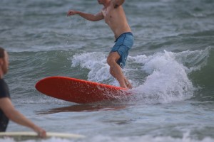
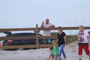
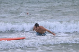
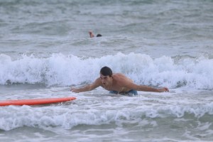
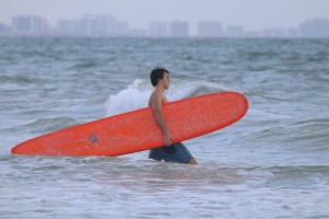
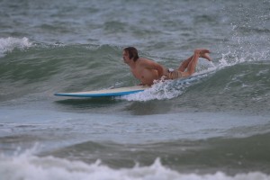
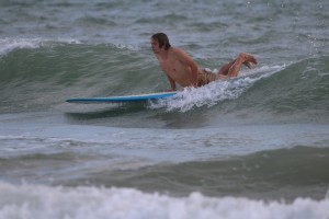
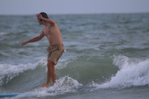
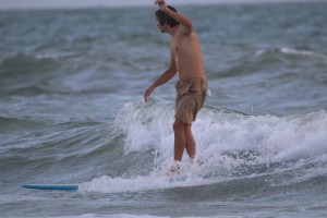
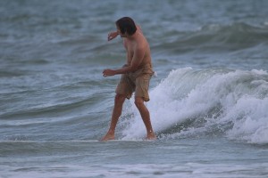
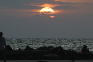
The purpose of this thread is to start a discussion about knowing when and where to surf. There are many surfers and skimboarders who are new to the sport. Many probably don’t know a lot of the things you know about the sport. Share with them your knowledge. Leave a comment below. Hopefully we can start a multifaceted, multisided, lighthearted discussion about the good and the bad in surf forecasting and surf reports we love.

I’m posing the question to you, “What is the best way to get your surf forecast?”

I’m aware of many sources of information about the surf forecast. Let me tell you a little bit about my experiences with these sources. I guess I’ll start with my favorite surf forecasting sources for the area. When I want to know what the future holds I will often go on Aurasurf.com, he’s my favorite forecaster. For many years he did a surf forecast that was far and above the most accurate Sand Key surf forecast, calling Sand Key “the best spots.” I also like Swellinfo.com. That website shows you a very detailed chart with wind direction and size on a timeline six days in advance. Micah usually forecasts one, two, or even three weeks in advance. The only drawback with Micah’s site is I feel like he just says things to get you to go to his website more. Now, after years of trying to use the Navy’s weather model to forecast surf, I see how the weather models, ie. the feds and their “reports”, can mess with you. So I have to give both of those sources credit for doing a good job, Aurasurf and Swellinfo.

Swellinfo was often contrasted with Magicseaweed.com. It was like Magicseaweed was the Burger King to Mcdonalds. They are so similar as competitors and yet so different. I only looked at Magic a couple times. It wasn’t for me. I couldn’t get on board with the Surfline like forecast where instead of a body scale (head high, knee high, etc.) they were showing the surf on a swell feet scale. The problem with that is that a three foot swell in Hawaii is head high where a three foot swell on the gulf doesn’t even break. So Magicseaweed and Surfline were out, not for me.

Gulfster had a surf forecast, still does, now with a east coast surf forecast, and a gulf coast fishing forecast. The fishing forecast may even have been inspired by yours truly SurfingtheGulf after I started posting sweet fishing content and even doing those boring, far too vague fishing forecasts. I never really used Gulfster as a surf forecast, or any kind of forecast for that matter. Now that I think about it, Maybe when I first started surfing waaaay back when. Only until I heard about Micah’s website. Gulfster is really just a place to get pictures people take after a good swell. I was always excited to show people on Facebook how cool I was. It was the reason I got sucked into the chaotic Sand Key surf scene.

I mentioned Facebook a minute ago. Facebook, Instagram, and other social media outlets have never been a source of information about the surf, not a good surf forecast or a good surf report. People are just not dedicated enough to update their accounts when the surf’s up, or to regularly and accurately forecast. What we’re talking about is work. So it really is more of a commercial activity to surf forecast and do a surf report. I do my Surf’s Up Surf Report, but I can only do it because I do it when I go surfing. Otherwise, I just couldn’t do it.

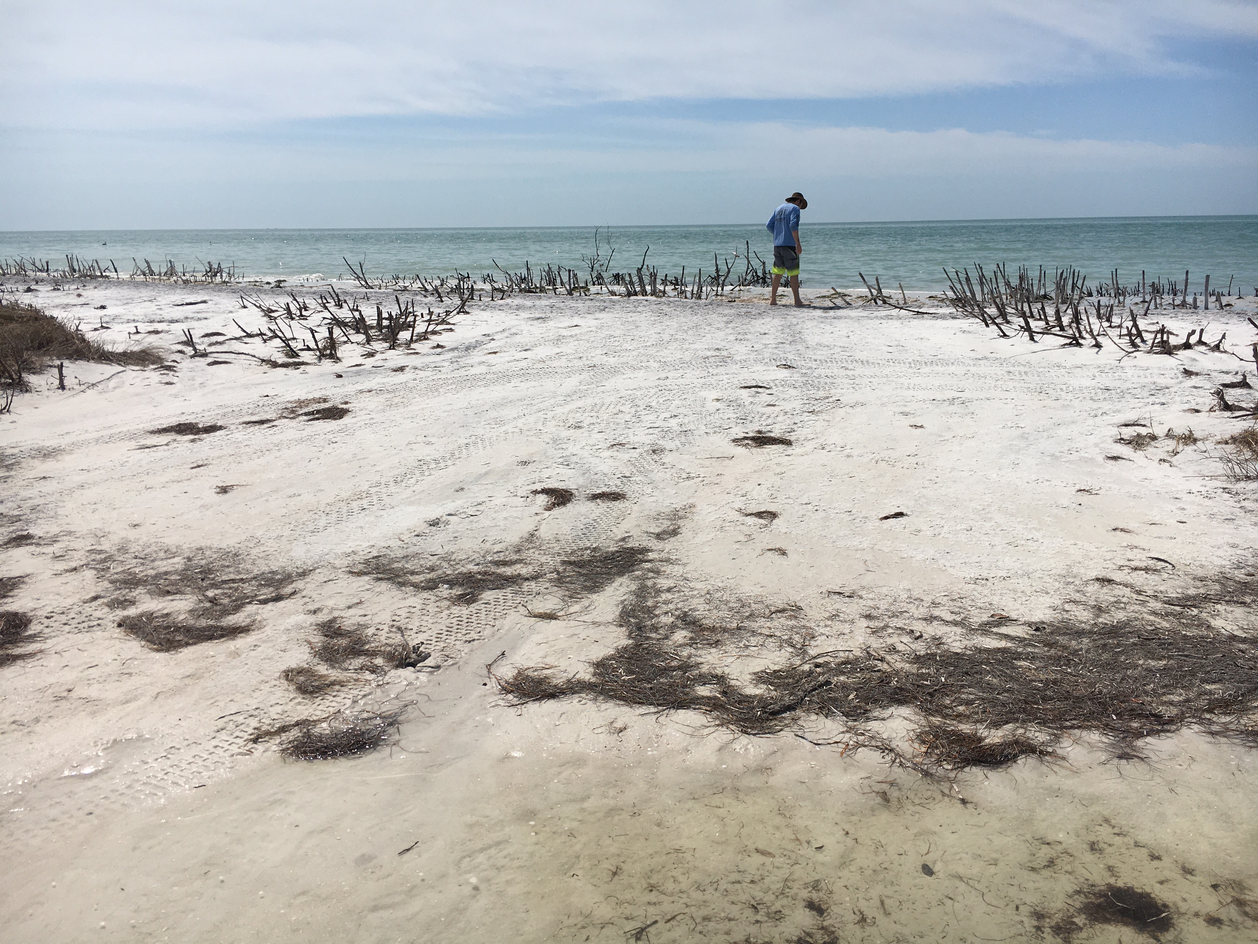
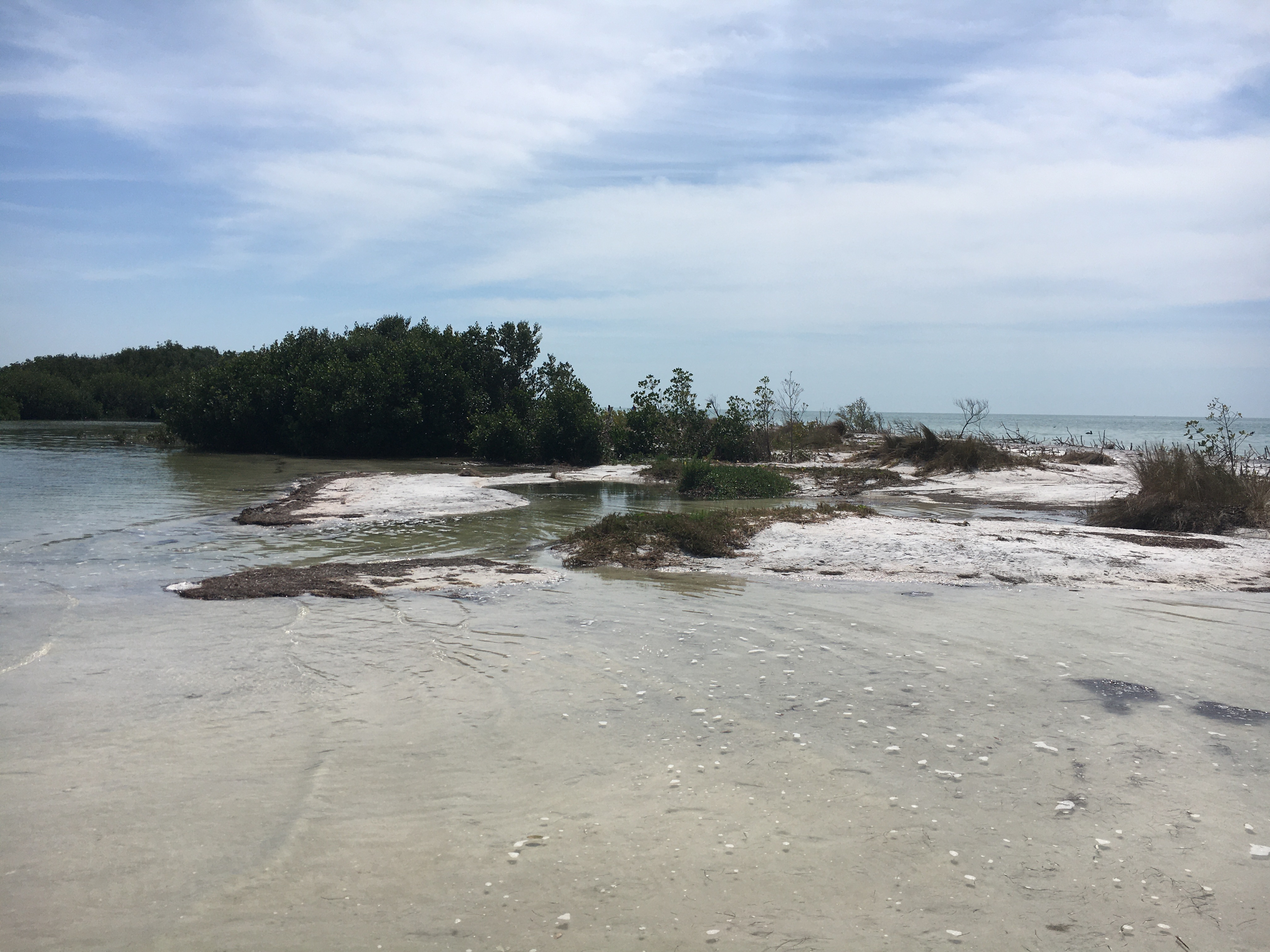
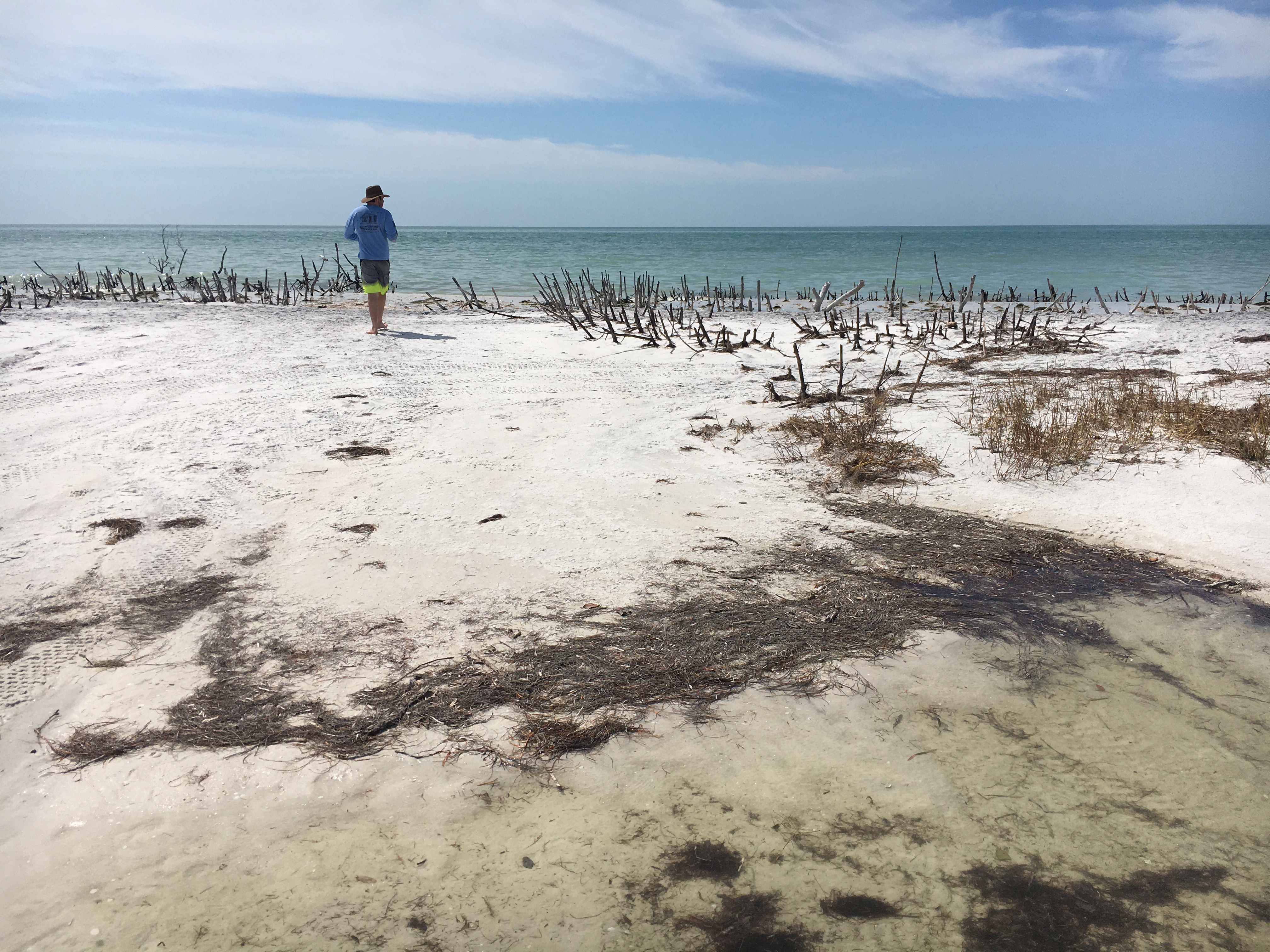
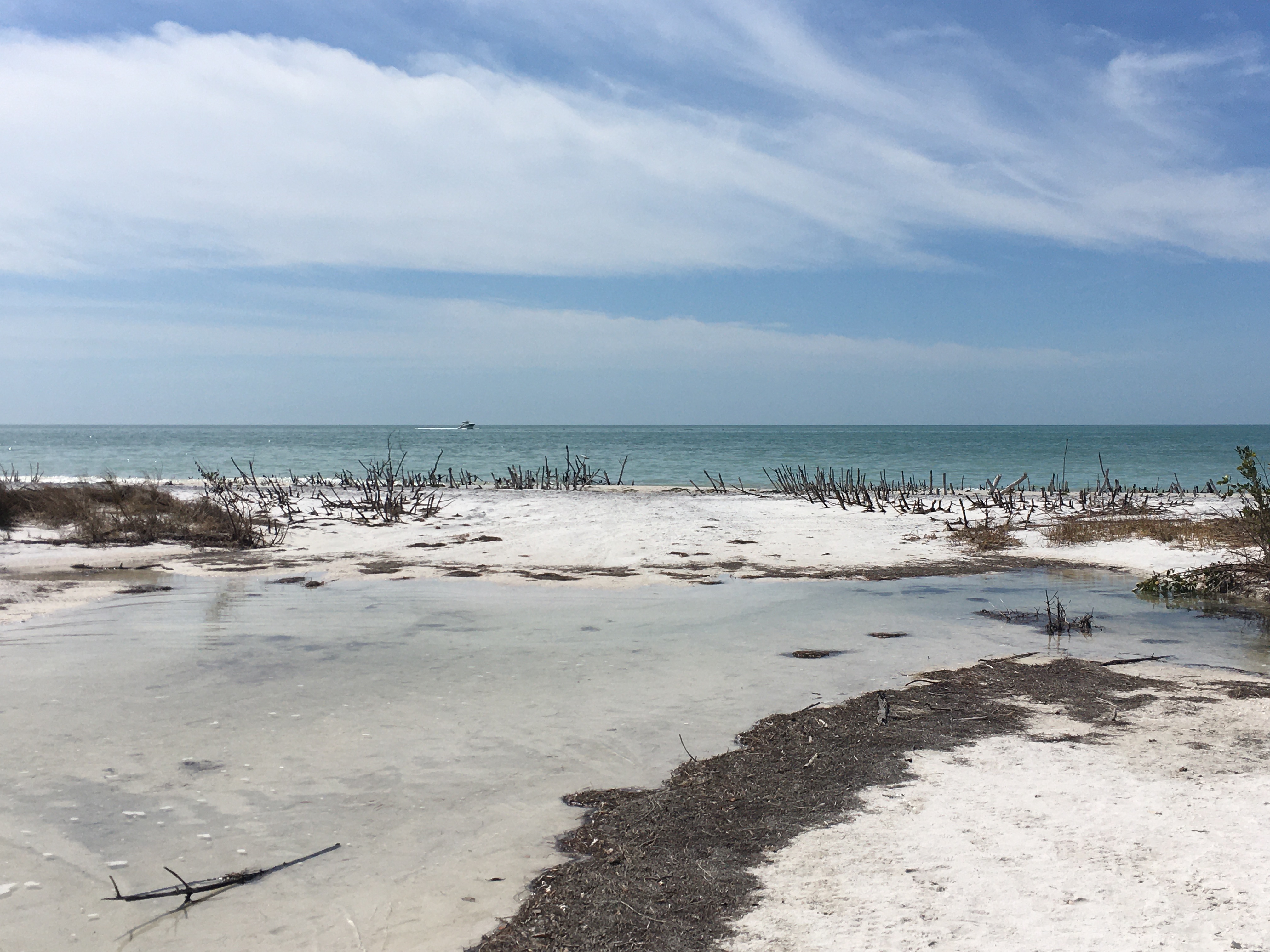
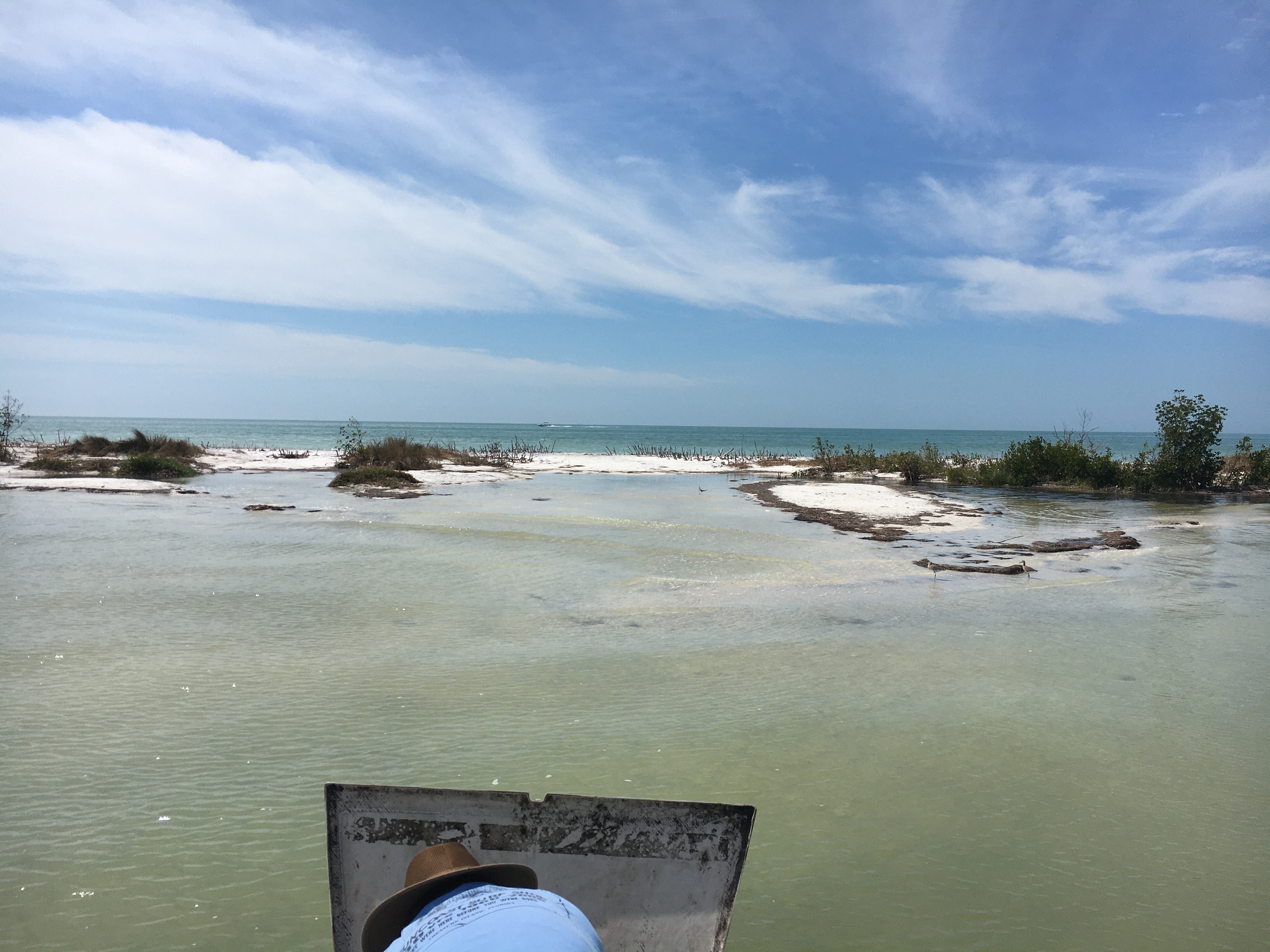
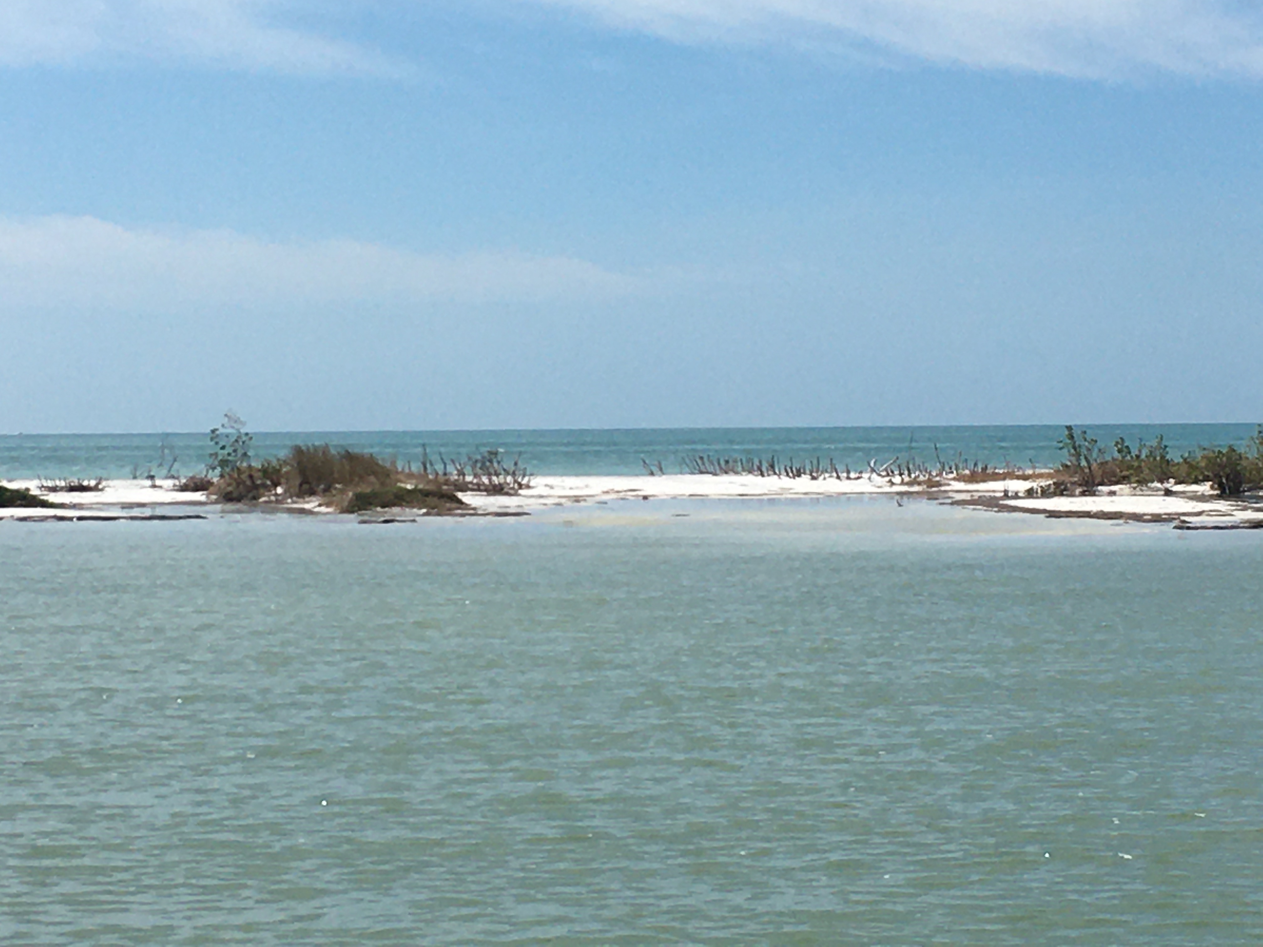
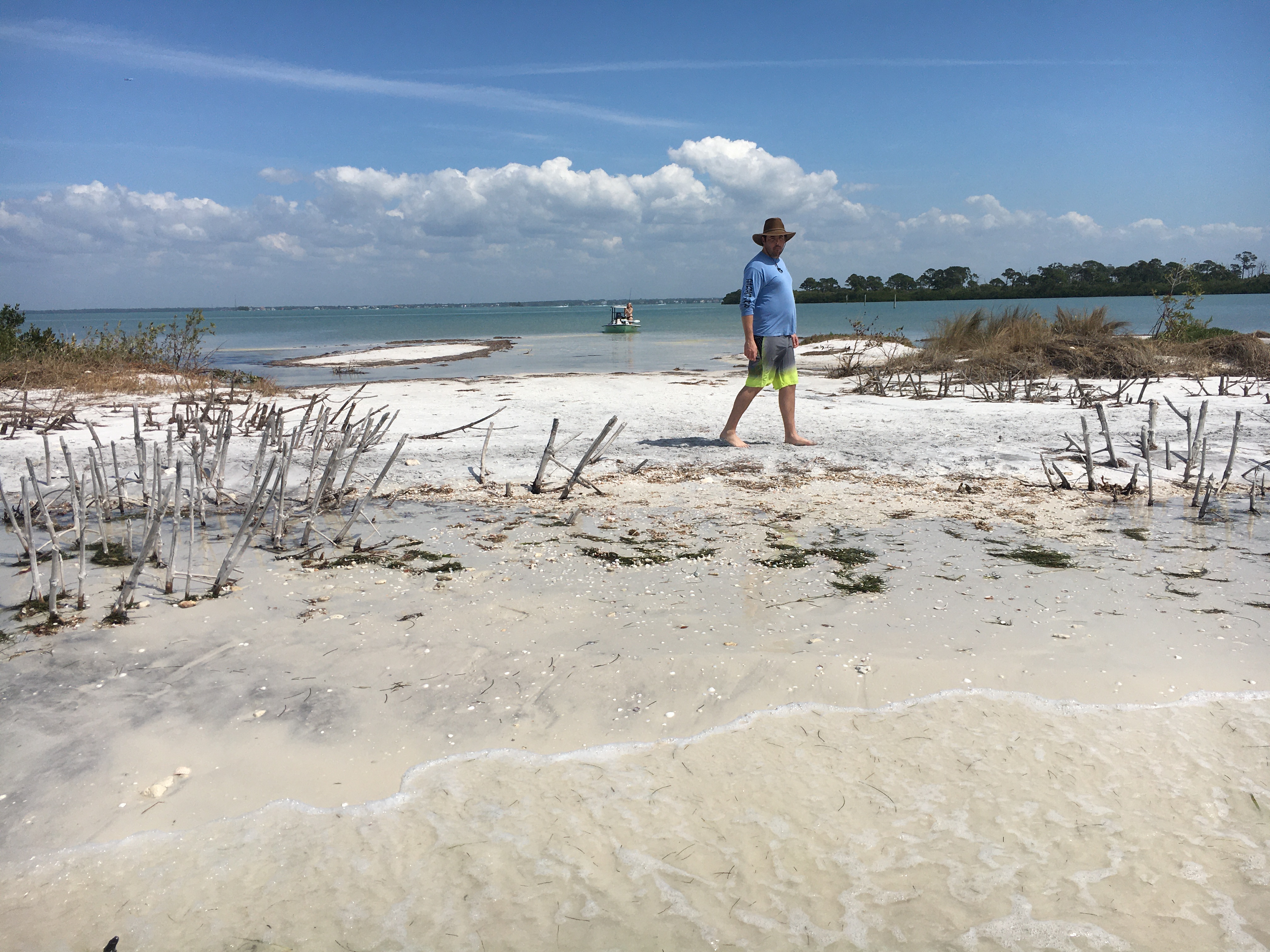
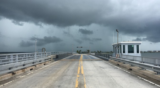
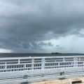
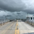
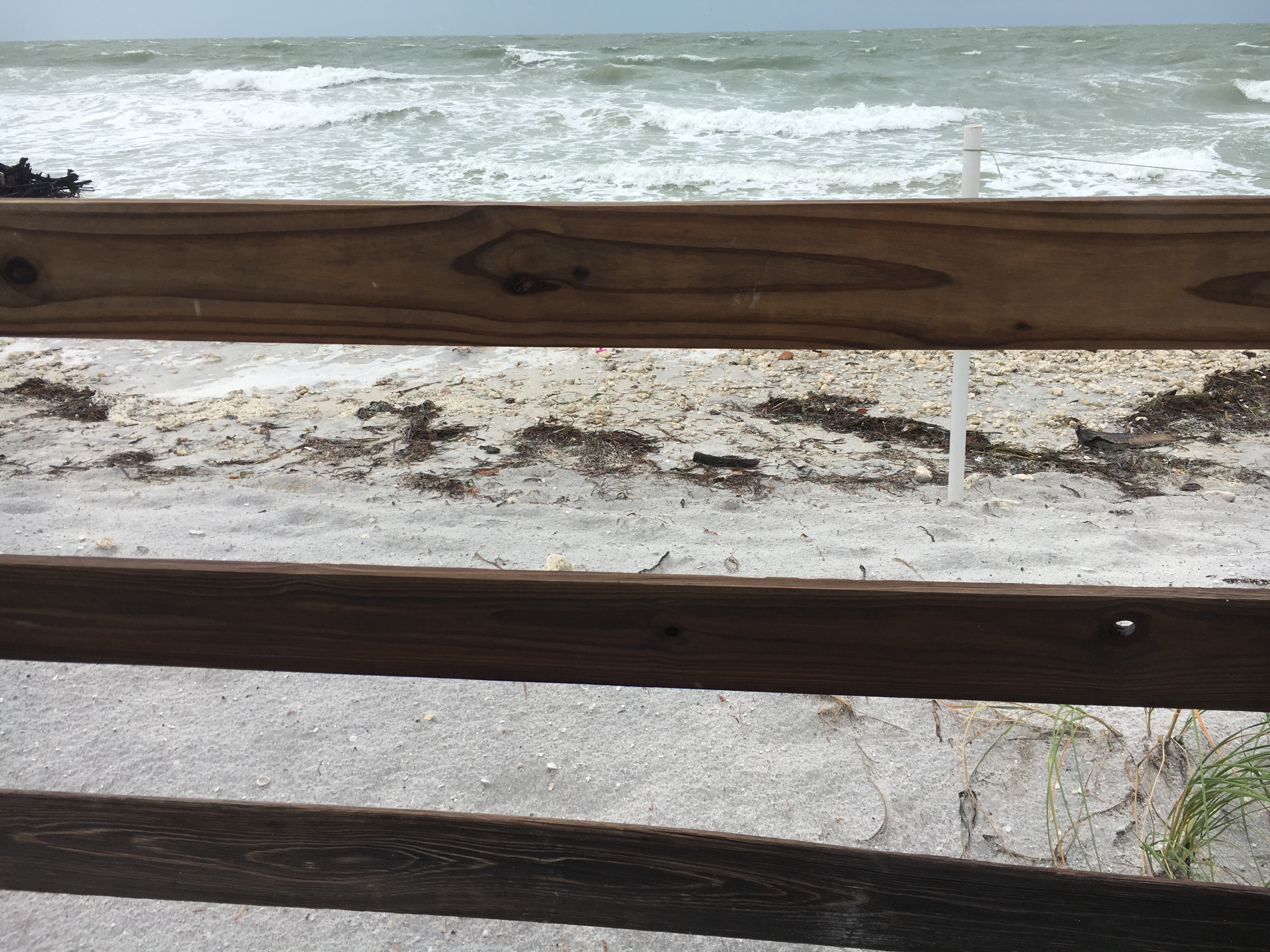
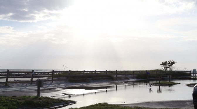
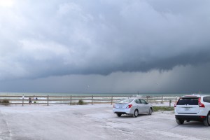
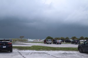
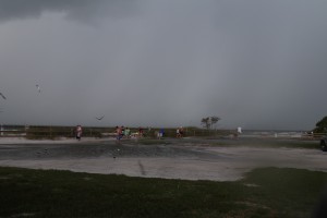
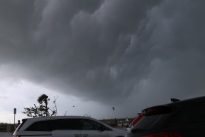
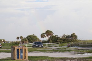
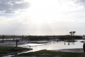
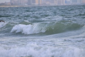
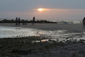
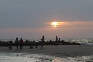
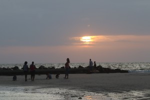
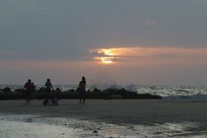
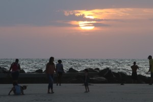
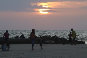
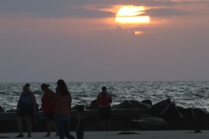
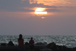
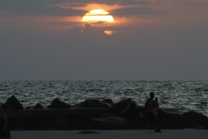
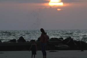
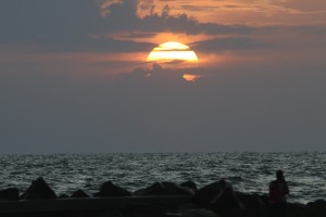
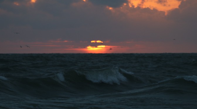
Now, while I’m on the topic of a surf report let me just tell you that a surf forecast is never accurate 100 percent of the time. There will always be those times when the forecaster has been misinformed or when a drastic change in the weather pattern leads to a sudden change in the forecast. A day before the surf there are often changes made to the forecast for the next day. The day of, I like to open up a cam and maybe look at the nearshore Egmont buoy. Those tend to be the best source of information on the surf day. There are cameras up and down the coast. My favorite is definitely the opal sands camera. It gives me the overview of Clearwater beach. While I don’t surf Clearwater beach usually, there are two beachs right next to Clearwater Beach. The other two beaches are the two primary surf spots in the area, Honeymoon Island State Park and Sand Key. I like to use that camera because in contrast to cameras further south, because there are often noticeable differences between here and Pete and most definately from here to Bradenton or Venice. Often it’s the same. Often it’s different. So, I like to use a source close to home. I think most people are the same when it comes to their day of surf forecast. You can also check out the new Egmont surf buoy. It does have little bit of surf report value. It gives you wave direction, probably it’s most endearing quality.

I’m not going to write too much. I’m going to leave the rest up to you. Put a comment in the box below. Write as much as you can to reply to the question, “What is the best way to get your surf forecast?”