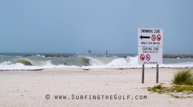
Hurricane Irma moving through could generate really fun swell. It’s now 11 at night. Some of the most severe weather we’ll see through the next three or four hours as the storm’s eye moves past the area. This category 2 hurricane is currently on a track toward Lakeland. There may be potential to surf tomorrow after the storm, because winds are expected to begin diminishing by 9 or 10 in the morning tomorrow. By evening the wind may drop enough to be able to surf.
This situtation will only be possible if a few things happen. First, we’ll need the winds to drop to manageable conditions. Second, we’ll need the flooding and storm surge to be at a point where it’s safe to go on the islands. Third, we’ll need to be granted access to the barrier islands.
Current weather info: The Pier 60 weather station is showing gusts to 65 knots with sustained winds right around 50 mph. I don’t see any local wave data, but a buoy offshore of Naples is showing waveheights of 22 feet at 13 seconds from a north northwest direction.
What I’m Expecting: I’m thinking we’re going to have big surf tomorrow afternoon and really windy onshore west swell with west or northwest winds. It seems like it will be a great time to surf big surf if the weather cooperates. I think there’s a great chance that we could have super fun, big surf Monday evening. I think some time on Tuesday is probably going to be the average person’s best time to surf if you want to catch fun Hurricane Irma swell.
Where to surf: Two of the routes to the beach that are the least likely to be flooded are the 60 route over Memorial Causeway to the island of Clearwater Beach, or the West Bay Dr. route over the Belleair Causeway onto Belleair Beach. The spots in those area will probably be our only chance at surf tomorrow evening.
This is awesome. I’ve never seen anything like this. You have got to read this seas forecast by the National Weather Service for tonight and Monday:
Monday: Tropical storm conditions expected with hurricane conditions possible. Southwest winds 50 to 60 knots with gusts to around 80 knots diminishing to 25 to 30 knots with gusts to around 45 knots in the afternoon. Seas over 20 feet subsiding to 12 to 16 feet in the afternoon. Bay and inland waters extremely rough. Widespread showers in the morning. Isolated thunderstorms. Numerous showers in the afternoon.
