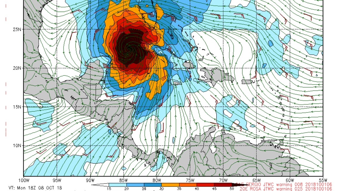
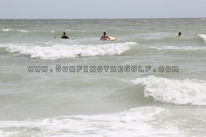
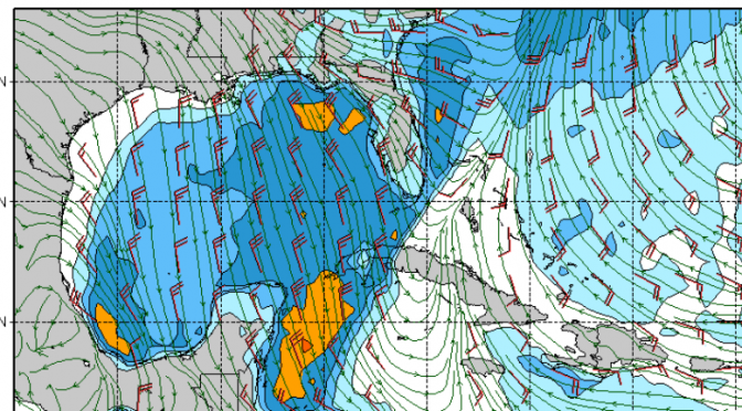
The Navy GFS model seems to think something big and gnarly could be a week away from entering the gulf, that’s next Monday. The National Hurricane Center doesn’t have anything developing in the next 5 days. The Navy GFS is usually a pretty good forecast model for tropical systems. What do you think? Is that system in the carribean that’s being called a ridge by the National Weather Service going to morph into something that’s going to send us pumping head high surf? Check out the image of the ridge from today around 7pm below.
Continue reading Something Big and Gnarly Might Be Coming
Tag Archives: beach weather
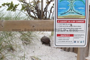
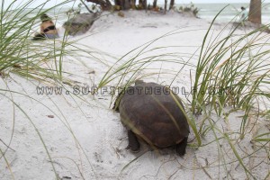
Tropical Storm Alberto, Day 3, Turtle On The Beach! 3pm & 5pm
Weather Forecast: Second Big Cold Front of Fall
Mid-day Friday the surf comes up with the arrival of a significant cold front. Surf will start filling in as the west southwest winds across the middle gulf increase prior to the arrival of the frontal boundary. This should be a fun southy, waist high or better before the front. As early as noon we could be able to surf from all that southwest wind. The next morning, on Saturday, the northwest winds significantly increase in offshore waters. At the coast, surf will be in the head high plus range with lighter 15+ knot winds. Surf’s up all day on Saturday. Overnight the winds gust from the north, then switch northeast sometime before or right around sunrise. Sunday morning a small clean wave and strong side-offshore wind will remain.
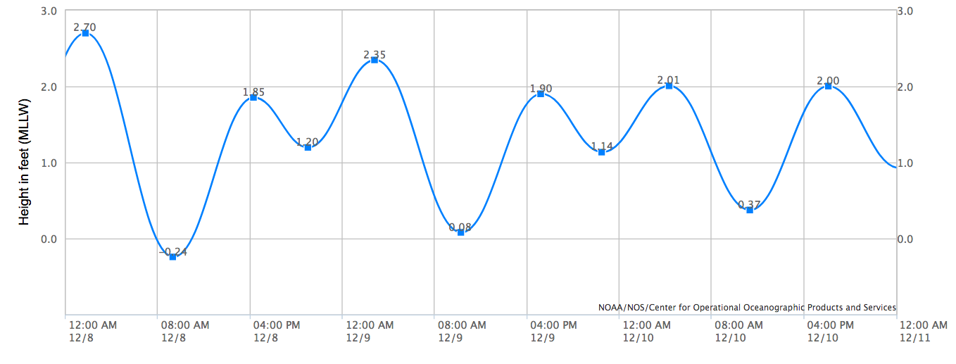
The water temperature is currently around 71° in Clearwater, and has been there since the big cool down of the first cold front. The Fall/Winter pattern continues as temperatures cool again behind this significant cold front. Friday and Saturday we see a high just above 60°. Dawn patrollers and sunset gazers will feel things cool off with lows upwards of 49° in the overnight hours. There was a big full moon phase with strong tides, but we’re getting further away from those bigger tidal swings as you can see in the chart that takes us through Friday, Saturday, and Sunday.
