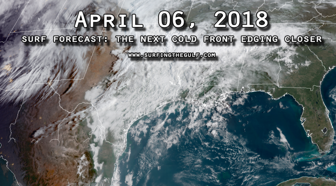
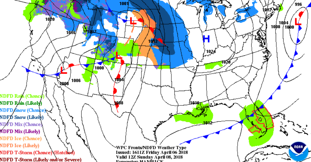
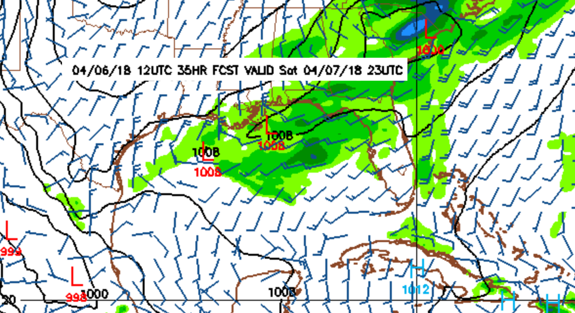
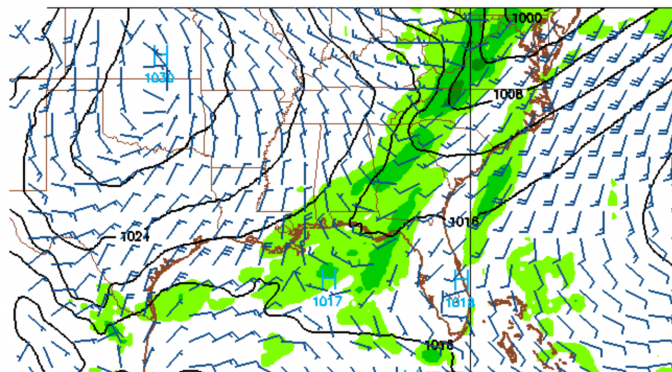
Tomorrow morning the winds come up from the south southwest. As the front gets closer, closer to the afternoon/evening, the winds shift slightly more southwest, and increase in strength up to around 15 knots. The afternoon/evening is when we can expect the decent little swell to start filling in. Overnight the front passes and the gradient tightens over the northern gulf. The alignment of the gradient will pull the winds into a westerly and west southwest direction; the winds shift west above the 1012 line, and west southwest/southwest below the 1012 line (image 1 below). So, breezy on Saturday, and overnight Saturday night. The winds start south and shift west as the front gets closer passes, then northwest/north winds fill in behind as the front pulls out. The winds could be moderately strong, around 20 knots overnight. By morning, the winds go pretty much slack. Whatever swell is leftover should linger through the morning. The temps don’t change much from the low 80s, and the water is right around the low 70s. The temperatures look pretty comfortable for this one. I wouldn’t miss it. It won’t be anything like a hurricane, but it looks like fun!
Tag Archives: cold front
Latest Model Run Shows A Chance of Surf This Wednesday, Thursday
What will happen this week appears to be up for discussion. Will this little front hold for long enough to keep the gradient in place on Wednesday into Thursday. Most of the runs have been showing a weak south wind before the front; then when it switches wind direction behind the front it appears to be going mostly northeast. The models seem to be out of wack this season. Every front is showing up as a northeast wind behind the front, but most of the time they’ve been wrong. Northeast winds would suggest no surf, but something is happening in the gulf where enough onshore winds have been present. Surely a pressure change is not enough to create surf, or is it?
Typically, Spring fronts are known to make surf. When the surf is in season, you can usually depend on surf to be created from a cold front. The other fairly predictable thing that we usually observe is, if there’s a cold front with enough southwest winds to make surf, you can usually bet there’s going to be a northwest swell behind it of some kind, usually at least as big as the southwest swell preceding the cold front. That last cold front was sort of the exception to the rule.
According to the latest weather model run, 15 knot west northwest wind comes up near the Louisiana/Mississippi region of the gulf and shifts eastward as the front steams along. As the front pulls out it pulls the winds to the north. This scenario is likely to create a small west or north swell sometime between Wednesday afternoon and Thursday morning.
A rideable little south swell on Thursday, 03/28/18?
It looks like a little swell may come up tomorrow preceding the front. The front may bring up a southy associated with 20 knot south winds in the gulf sometime mid morning. Behind this front the gulf goes into an extended flat spell and continued heating spell as spring gets into full swing.


