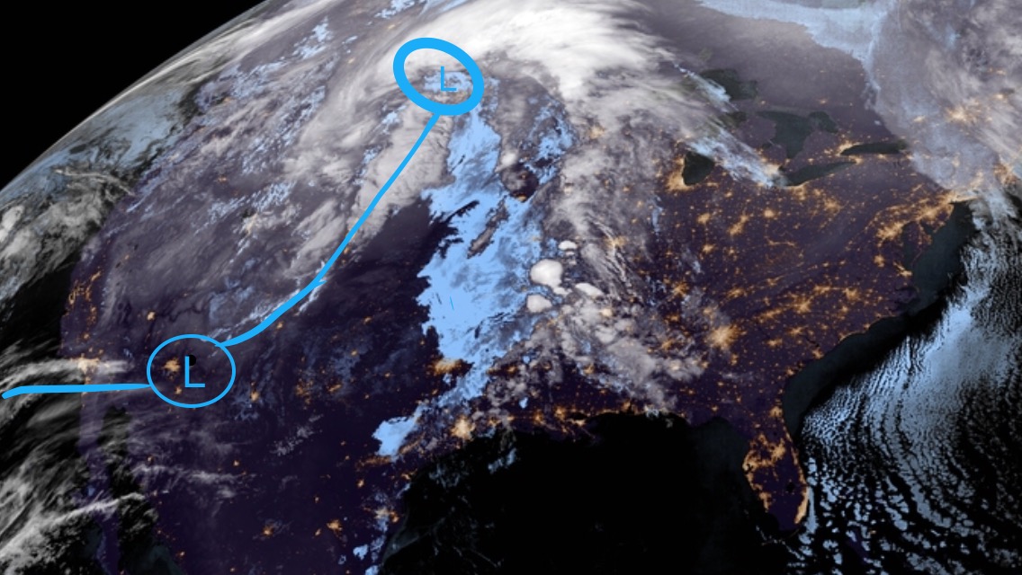
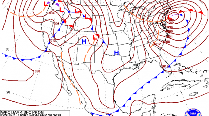
We’re now just a day out from a late winter storm making waves in the gulf. An extended window of surf potentially from Tuesday evening through Friday morning looks to be in the forecast. A warm front preceding a cold front is headed right for the gulf. The system is part of a frontal boundary branching off the big low in the far north. The boundary has its own spinning low that’s expected to be in the gulf by Wednesday. Southwest swell will start us off, it’ll go west, and eventually northwest as the low pulls away. It’s likely to be a mostly onshore wind event with a slight chance of a cleanup on Friday morning. The temps start in the high 70s on Tuesday dropping ever so slightly in the evening. Wednesday morning the air will be around the low 60s, and won’t climb back into the 70s until next Saturday. The cold front will keep things feeling like winter at least through the end of the week.
Tag Archives: surf forecast
Cold Front on the Way: Thursday Evening/Friday Morning Surf Forecast
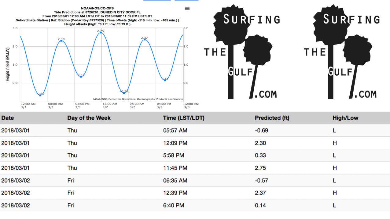
Here comes the cold front I mentioned in the last Surf’s Up Surf Report while we were getting that little swell with warming weather. The water is getting really comfortable, especially with these steamy air temperatures. Thursday evening the winds may bring up some swell from the southwest; it looks like around 15 knot winds or less for most of the day. Overnight the winds increase to a westerly direction, the best wind direction we could ask for. A long west fetch should make Friday morning fun with air and water in the low 70s. The tide comes in from 6:30am until 12:30pm on Friday morning, and so that looks to me like the best time to surf. Behind this Thursday/Friday front, into the immediate future, the warming trend will continue.
Note: The exact arrival of the cold front could change to an earlier or later arrival.
Weather Forecast: Another low pressure is dropping into the gulf.
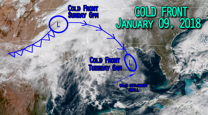
Just like the recent nor’easter, the cold front over northern Texas is headed for the Gulf of Mexico. Despite this system heading right for us, the trend for this upcoming cold front is actaully a warming trend, and the storm won’t be impacting the temperatures at all. This low will be entering into the gulf near Floribama, the Florida panhandle area, then continue on its southerly track through the gulf. I’m expecting the low to be completely gone by the time it nears the north-western tip of Cuba on Wednesday evening. As this storm moves through the gulf it’s likely to kick up a west swell in response to a tightening pressure gradient along the frontal boundary. What cooler air there is behind the cold front won’t be reaching the Florida coast. Expect slightly more humid south flow to be drawn towards us. The warming trend will continue through the surf on Tuesday afternoon. The water and air temperatures are warming, however the water will still be very cold. This low pressure cold front will be another fun little swell before the significant wavemaker next weekend.


