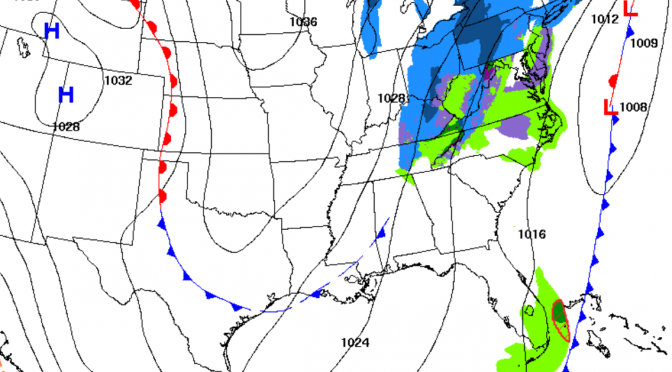
A stronger cold front is comin a knockin. Just on our doorstep, Monday afternoon we’ll watch a big cold front move into the gulf. Spring was here for a short while, but it seems to be disappearing into the sunrise as we approach the middle of March with water temperatures down below 65° again today. Monday around mid-day surf will be rising towards heights of head high. Monday evening the surf peaks with the biggest waveheights and warmest temperatures. Tuesday morning will be a smooth morning at south facing beaches. Around 3am the winds shift from the northwest to the north leaving a northwest swell with offshore winds and temps in the mid 50s.
Tag Archives: weather forecast
Slightly Above Average Cold Front Is Nearing The Gulf
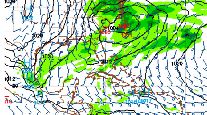
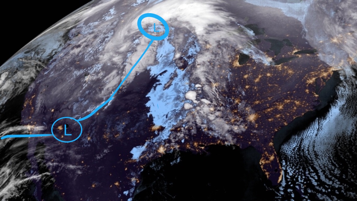
We’re now just a day out from a late winter storm making waves in the gulf. An extended window of surf potentially from Tuesday evening through Friday morning looks to be in the forecast. A warm front preceding a cold front is headed right for the gulf. The system is part of a frontal boundary branching off the big low in the far north. The boundary has its own spinning low that’s expected to be in the gulf by Wednesday. Southwest swell will start us off, it’ll go west, and eventually northwest as the low pulls away. It’s likely to be a mostly onshore wind event with a slight chance of a cleanup on Friday morning. The temps start in the high 70s on Tuesday dropping ever so slightly in the evening. Wednesday morning the air will be around the low 60s, and won’t climb back into the 70s until next Saturday. The cold front will keep things feeling like winter at least through the end of the week.
Weather Forecast: A wave on Monday/Tuesday.
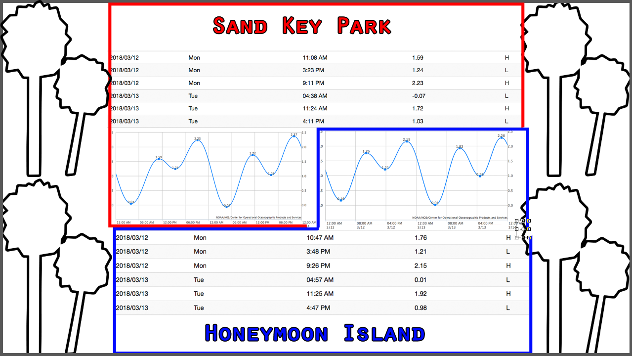
The winds have already increased before the arrival of the upcoming cold front. Surf’s up on Monday right before dark; 5ft@6sec northwest swell will be filling in. It will be around chest high at the key, waist-chest high with longer rides at honeymoon with semi-offshore winds. We’ll have to watch for the precise north wind shift to see when honeymoon goes offshore. A cold blast of air is following this cold front. The water is already in the upper 50s, and the front will be bringing the water and air temps down again. Monday evening will be the warmest time to surf if you want to surf this next cold front, but also the choppiest. The first hour when the swell starts filling in is usually really fun! Tuesday morning the surf will continue. The winds will be offshore at certain spots. Tuesday morning looks like a fun little cleanup. The temperatures will be dropping into the fourties by Wednesday morning.
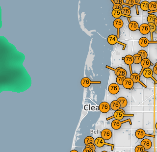
Check out this cool link(click image) to personal weather stations around the area. This one is from the Speckled Trout Marina:
