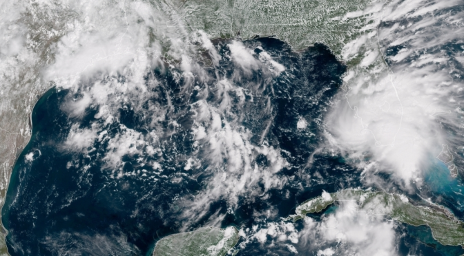
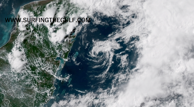
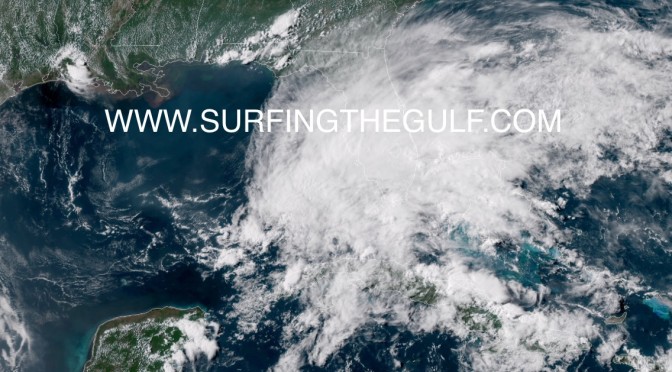
Corrrection: all things are the same, just the timing is Tuesday. Swell comes up around Tuesday 6am.
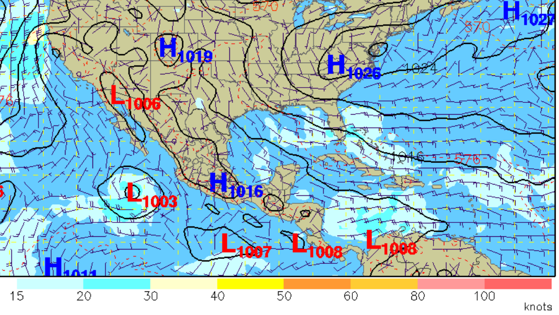
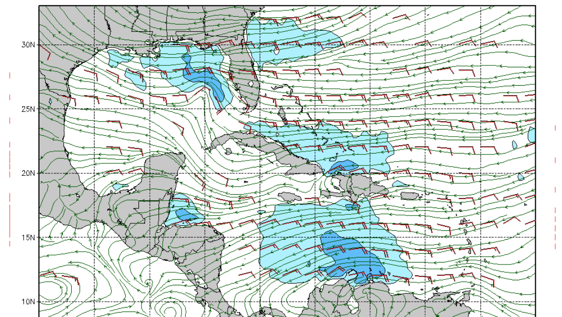
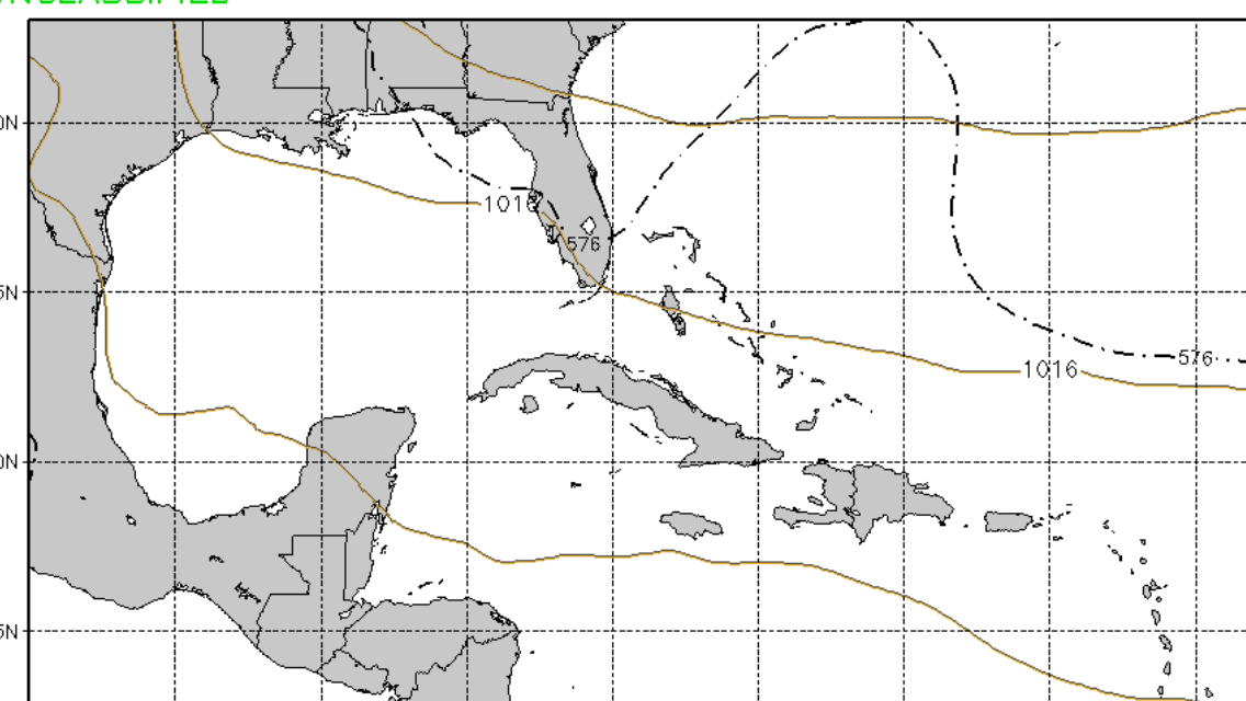 Micah is suggesting we could see a small wave on Sept 03, Memorial Day from southy flow created by a small tropical system. The first image below shows what the gradient looks like on National Center for Environmental Research’s latest GFS forecast model run. This looks like a pretty cool display template for the model data output. It shows sea level pressure with the winds. Based on the 11:30 output the winds look a bit too southeast to me, particularly for north of the bay. The US Navy weather model is showing the winds from the tightening pressure gradient with the bulge a little better than the NCER model. It’s showing this change on the 6pm Memorial Day slide in the image below. We’ll just have to wait to see what happens. It would be nice to have a little birthday swell.
Category Archives: Uncategorized
Newly Formed Tropical Storm Alberto
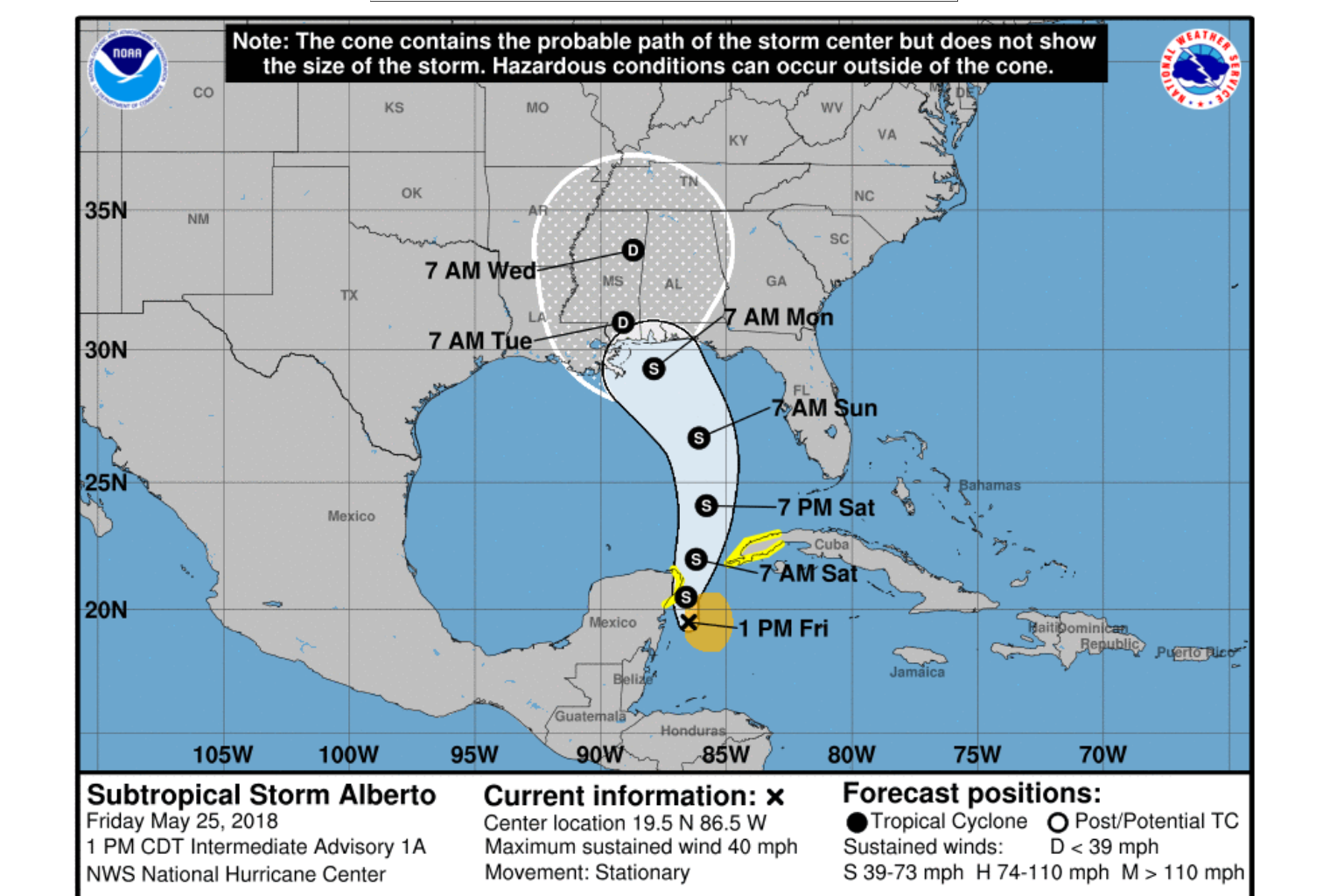
The storm that was a low pressure system is interacting with a sharp upper level trough, and that low is now called Tropical Storm Alberto. Ship and Buoy observations are providing the data for the upgrade to Tropical Storm Strength, measured at about 35-40 knot winds. The Hurricane Hunters were scheduled to further investigate the storm, and are likely in the air right now collecting more measurements. The storm center has more than one low pressure area. Moving slowly north northwestward, the storm is expected to increase momentum in the next 36-48 hours, likely leaving it in the lower gulf to spin and create longer period south swell that is likely to take nearly a day to get here. The storm is currently encountering shear, but is expected to strengthen some as it moves over the gulf. The west coast of Florida will be experiencing an increase in wind strength and rain chances, with potentially gale force gusts. The storm is expected to slow again as it nears the northern gulf around Monday morning, again allowing the storm to continue creating surf, and sending it toward the coast. This will be an extended pattern of long period swell, potentially days of groundswell, with offshore or side offshore winds. Please note: it’s way, way more likely we get onshore winds associated with the storm (statistically speaking).
Not Going to Happen
5pm On Mother’s Day:
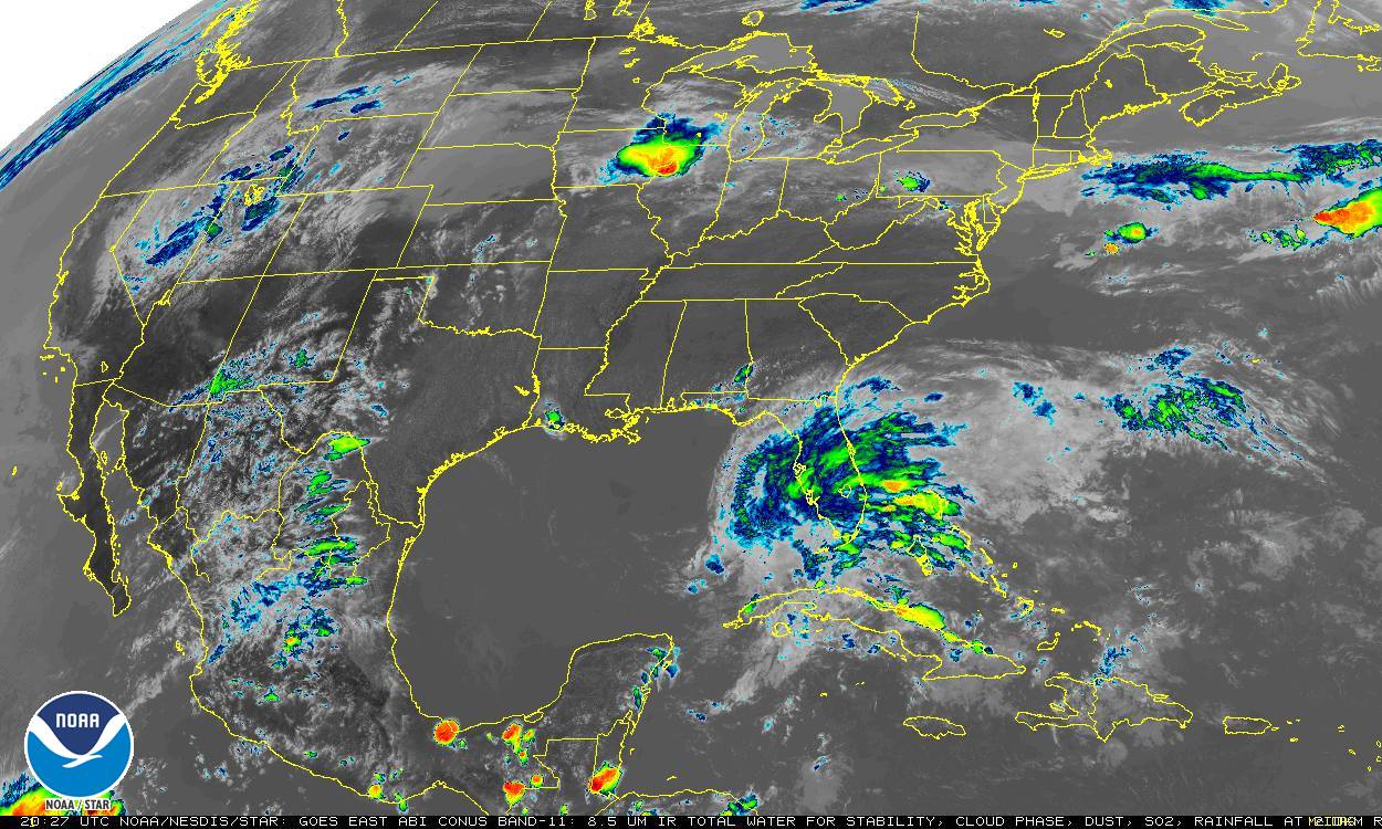
“That crack smoking GFS” as Micah of Aura surf has said. You might think model runs would be able to nail it down, but it’s almost always wrong. Anyone with any common sense would tell you that teeny tiny, super close to the coast low pressure systems don’t do much. If you absolutely love surfing sloppy super tiny, pretty much nonexistent wind ruffle be my guest. To be honest, it’s not really my thing. It was wrong to have even suggested the surf might get good.
