Category Archives: Uncategorized

Government Shutdown from the Senate Floor

The US government has officially begun the shut down.  An agreement could not be made by midnight last night on a funding bill. This means that many parts of the US government have not been funded for the next funding cycle.  Non-essential government employees will be furloughed as agencies wind down.  Currently the bill has been tabled, and soon leaders will again be considering ways of reopening the government.  Another vote will happen in the coming days.

Minutes before midnight, the funding deadline, the white house press secretary Sarah Sanders tweeted this message:

The senator in the middle of the front row with his hand covering his eyes in what would appear to be frustration, exhaustion, and sadness says a lot about what transpired:
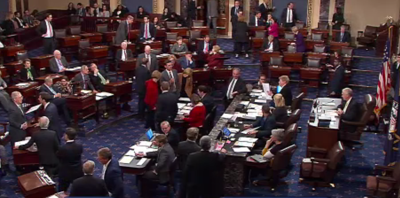
US Senate Floor Government Shut Down

There were a total of 50 votes, but a total of 60 votes were needed to pass the funding bill. Unfortunately, the Senate could not reach an agreement to re-fund the government.

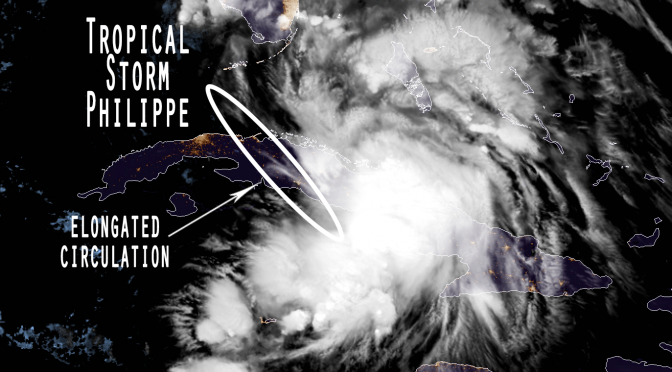
Tropical Storm Philippe: Will this be the last tropical system of Hurricane Season 2017?

We still have a month left of the hurricane season, however cyclone formation markedly slows after cold fronts consistently start moving across Florida like this and the last one did.  It looks like tropical storm Philippe could be the last named tropical system of Hurricane Season 2017.  This mutant storm is crossing over Cuba tonight.  It’s expected to travel up the east coast of Florida over the open waters of the Atlantic. The storm is a mutant because it was found to have three vorticity centers making up the storm.  It’s being characterized as an elongated center.  The 11pm NOAA discussion pointed out that one convection center was found over the Bahamas and the other over the southeastern gulf.  The intensity at that time was 35knots, and isn’t expected to strengthen beyond a tropical storm. The storm is primarily producing increased moisture in the atmosphere, but mild increases in wind strength could be seen across southern Florida. The cold front moving across the state will interact with Philippe overnight in a way that will begin to drive the moisture and convection centers of the storm back out into the Atlantic and up the eastern seaboard.

Nate’s On His Way

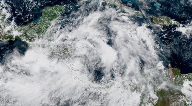
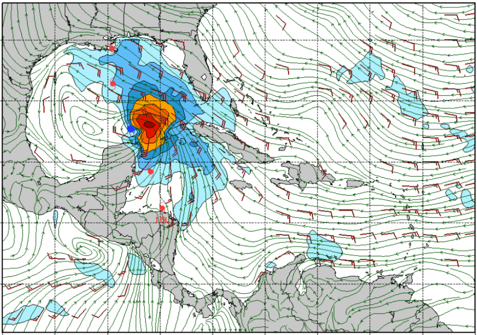
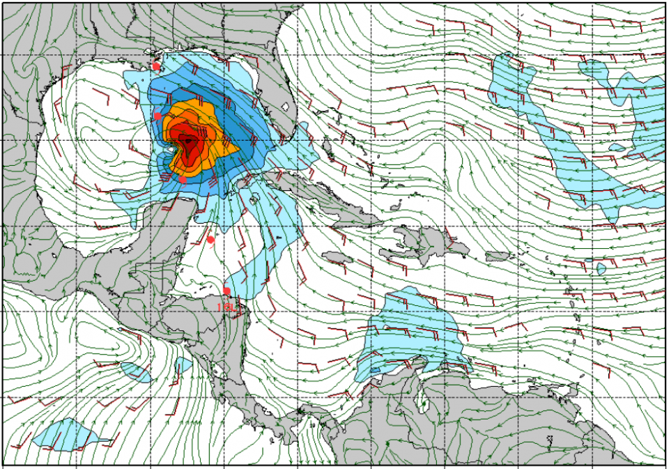
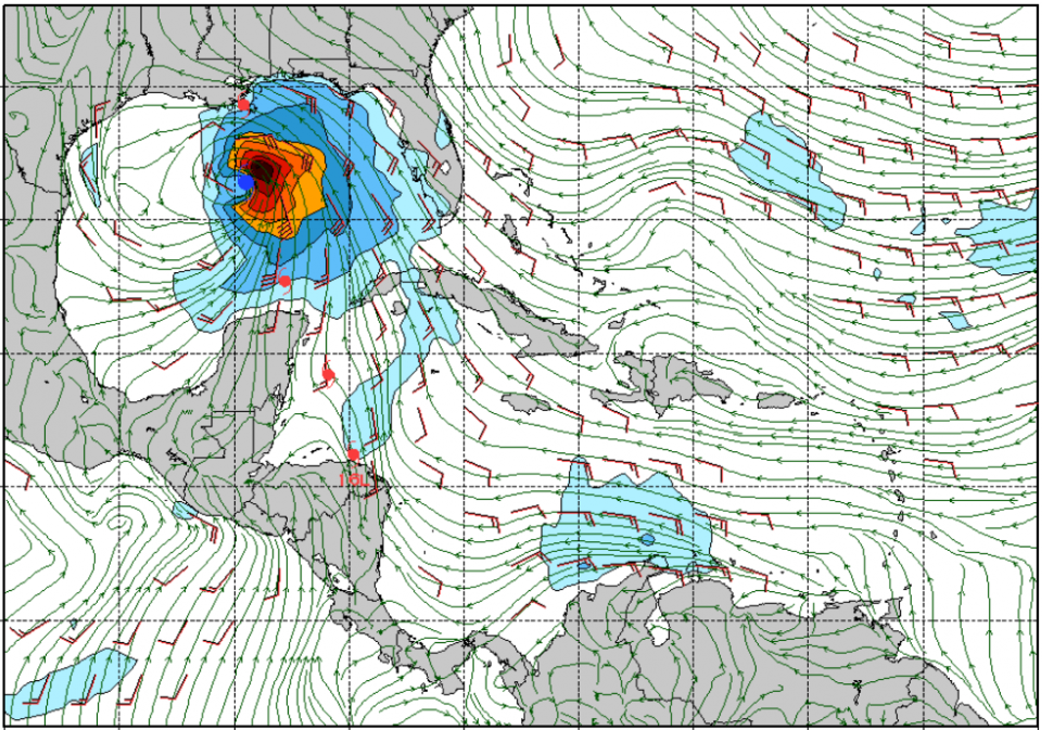
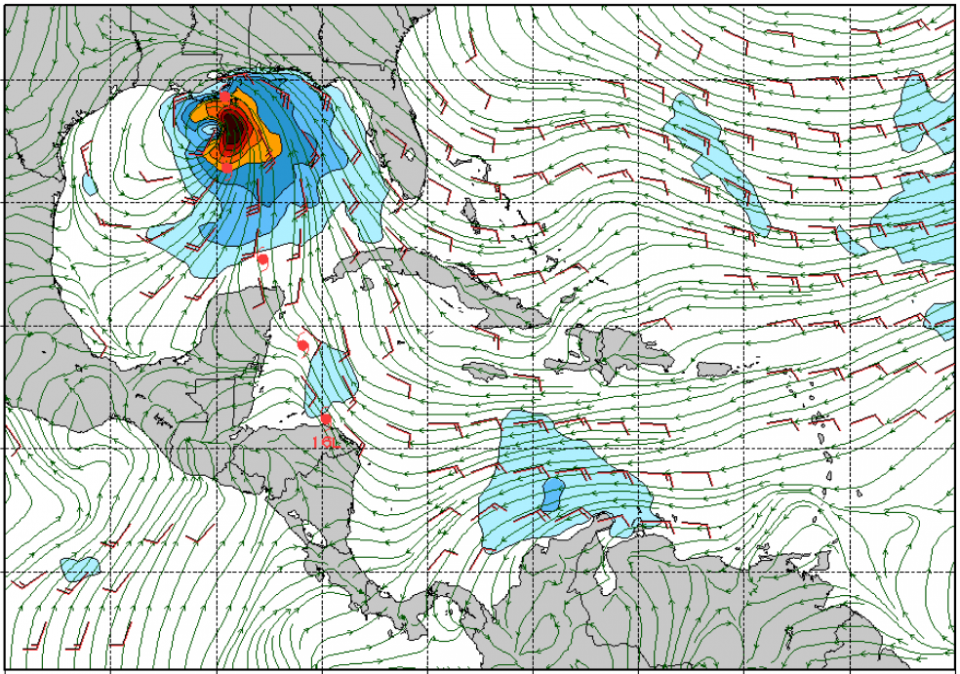
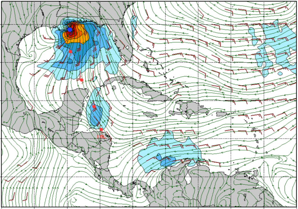
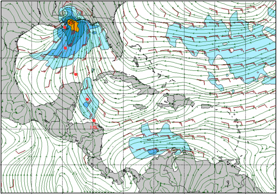
Tropical Storm Nate is just south of the Yucatan Peninsula . It’s traveling at 21 mph and has maximum sustained winds at 50 mph. So this tells us that it’s a super fast moving storm and that there are significant winds associated with the storm. The storm tracks into the gulf tomorrow morning and blasts through in only a day, as smaller storms often do. The wind direction and placement tomorrow morning by 6am down in the Yukatan channel looks conducive for the development of surf, and only gets better from there. We can expect the swell to start filling in sometime mid-day or early afternoon tomorrow. There should be really fun surf. At the swells peak on Sunday the surf could get up to head high with gusty winds at times. The close proximity of the storm and strength of the winds offshore favor solid surf.

GFS Run (noon Fri), Showing 6am Sat thru Noon Sun: