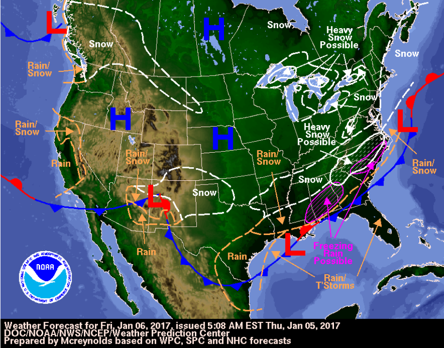
It is now wintertime, although daytime temperatures have been reaching record highs on a daily basis for the past couple weeks. As a change of pace, this weekend the nighttime/early morning temperatures will fall into the low 40s in west Florida, and freezing rain may fall near the panhandle.
West Florida
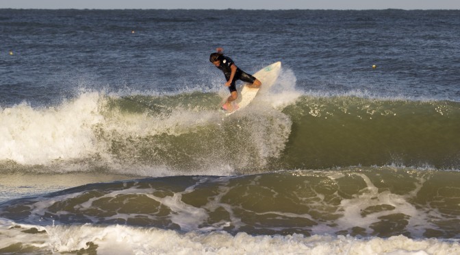
The cold front moves through on Saturday. By Saturday afternoon it will be windy and the surf will come up from the northwest. Offshore winds on Sunday will glass things off. On Saturday when the surf comes up the temperatures drop to the upper 50s, and then into the low 50s on Sunday. The seas are solid both days, forecast to peak at 6 feet high on Sunday by the National Weather Service. SWAN and Wavewatch show decent surf. The corner of the area of highest wave-heights is pointed in a northwest direction towards the coast, so the window of the best surf may not be that long, probably late Saturday, early Sunday. 5 foot seas and 6 second intervals of surf should be a fun waist to chest high. The water temperature is about 70° in Clearwater and Venice, but will drop significantly by Saturday evening, especially near the coast. There is a strong chance on thunderstorms while the cold front moves through the area on Saturday morning. Sunday has clear skies and breezy offshore wind conditions.
Now for a quick overview of the region:
Panhandle: Flat
Texas: Saturday evening the south Texas coast picks up the longest period swell getting over 8 seconds of strong sideshore surf. Most of the coast will see 6 second swell. The waveheights are 6-7 feet. I’m unfamiliar with the surf spots over there, and how they break. If your a surfer from the region and are reading this, your feedback and local knowledge would be much appreciated.
East Florida: There is a lot of strong onshore sideshore winds behind this front for the east coast. Larger conditions and strong winds show up with the cold front on Saturday. The onshore/sideshore conditions persist through the weekend and into the first couple days of the week.

