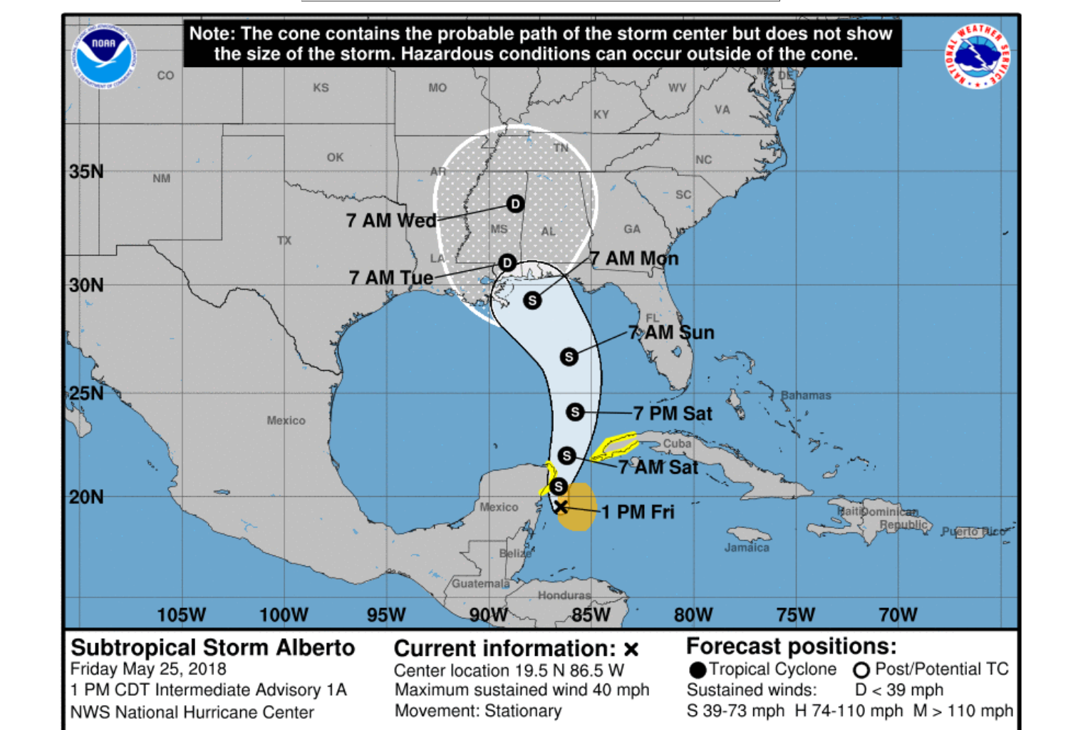
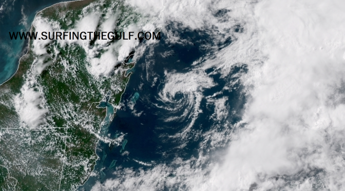
The storm that was a low pressure system is interacting with a sharp upper level trough, and that low is now called Tropical Storm Alberto. Ship and Buoy observations are providing the data for the upgrade to Tropical Storm Strength, measured at about 35-40 knot winds. The Hurricane Hunters were scheduled to further investigate the storm, and are likely in the air right now collecting more measurements. The storm center has more than one low pressure area. Moving slowly north northwestward, the storm is expected to increase momentum in the next 36-48 hours, likely leaving it in the lower gulf to spin and create longer period south swell that is likely to take nearly a day to get here. The storm is currently encountering shear, but is expected to strengthen some as it moves over the gulf. The west coast of Florida will be experiencing an increase in wind strength and rain chances, with potentially gale force gusts. The storm is expected to slow again as it nears the northern gulf around Monday morning, again allowing the storm to continue creating surf, and sending it toward the coast. This will be an extended pattern of long period swell, potentially days of groundswell, with offshore or side offshore winds. Please note: it’s way, way more likely we get onshore winds associated with the storm (statistically speaking).

