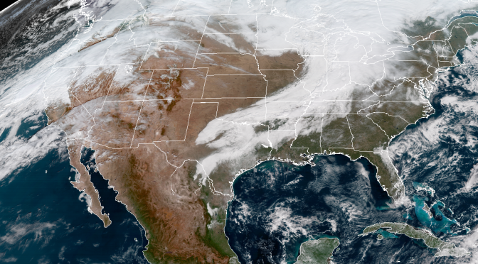
We’ve got a series of cold fronts slated for the next couple weeks. The first front, which is the one you can see in the featured image above, will just barely inch into the northern gulf, but quickly pull away without cranking up the onshore winds in the northern gulf. The temperatures hold at their current point behind this first front. Continue reading Weather Forecast: A series of cold fronts and winter preparations.
Tag Archives: Honeymoon Island
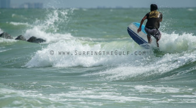
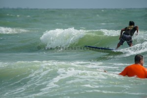
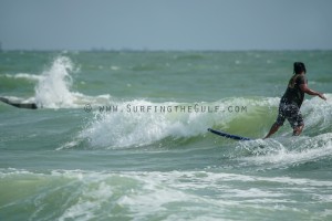
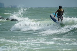
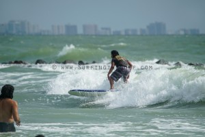
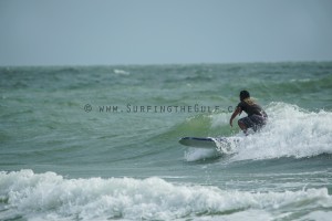
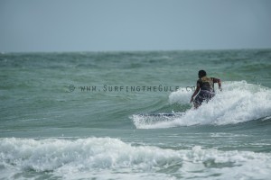
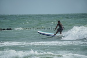
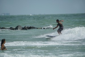
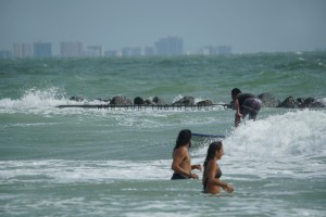
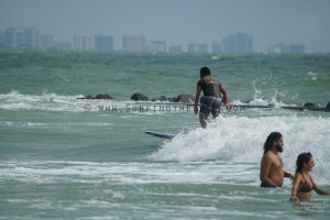
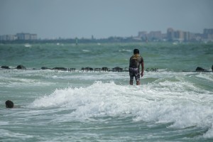
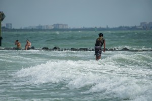
Randy Shredding Honeymoon Island Sat, 5pm Gallery
Surf Forecast: For Tuesday & Wednesday, June 06 & 07, 2017
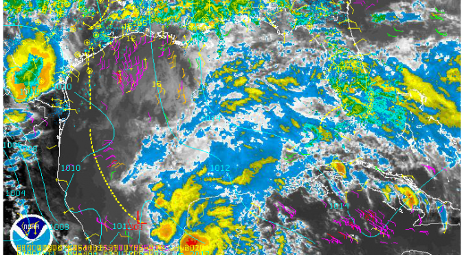
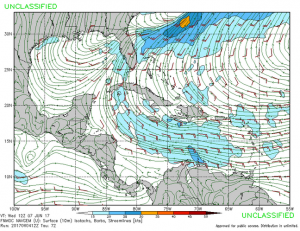
The environment is starting to heat up. This rain and thunderstorm activity appears to be associated with a cold front and tropical low (pictured above). The tropical like weather will continue over the next few days, and bring southwest winds. Tuesday our surf comes up. SWAN has it at 4-5 feet by 3pm. By evening on Tuesday a solid southwest flow will be in place.
The winds will only be around 15 knots, but there is a lot of fetch. Tuesday evening through Wednesday evening will be in the 4-5 foot seas range. West Florida water temperatures are at 84°, and rain chances at 70%. The mornings and evenings will be the time to surf.
