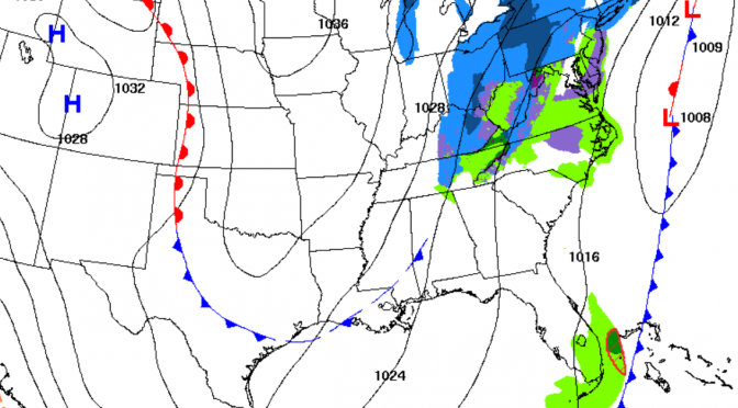
The winds have already increased before the arrival of the upcoming cold front. Surf’s up on Monday right before dark; 5ft@6sec northwest swell will be filling in. It will be around chest high at the key, waist-chest high with longer rides at honeymoon with semi-offshore winds. We’ll have to watch for the precise north wind shift to see when honeymoon goes offshore. A cold blast of air is following this cold front. The water is already in the upper 50s, and the front will be bringing the water and air temps down again. Monday evening will be the warmest time to surf if you want to surf this next cold front, but also the choppiest. The first hour when the swell starts filling in is usually really fun! Tuesday morning the surf will continue. The winds will be offshore at certain spots. Tuesday morning looks like a fun little cleanup. The temperatures will be dropping into the fourties by Wednesday morning.
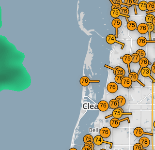
Check out this cool link(click image) to personal weather stations around the area. This one is from the Speckled Trout Marina:

